Home / Work / Cuttle Lake Resort
Cuttle Lake Resort
One resort mapped end to end for its owner: planned, flown, processed and published — and now collecting building details from his phone.
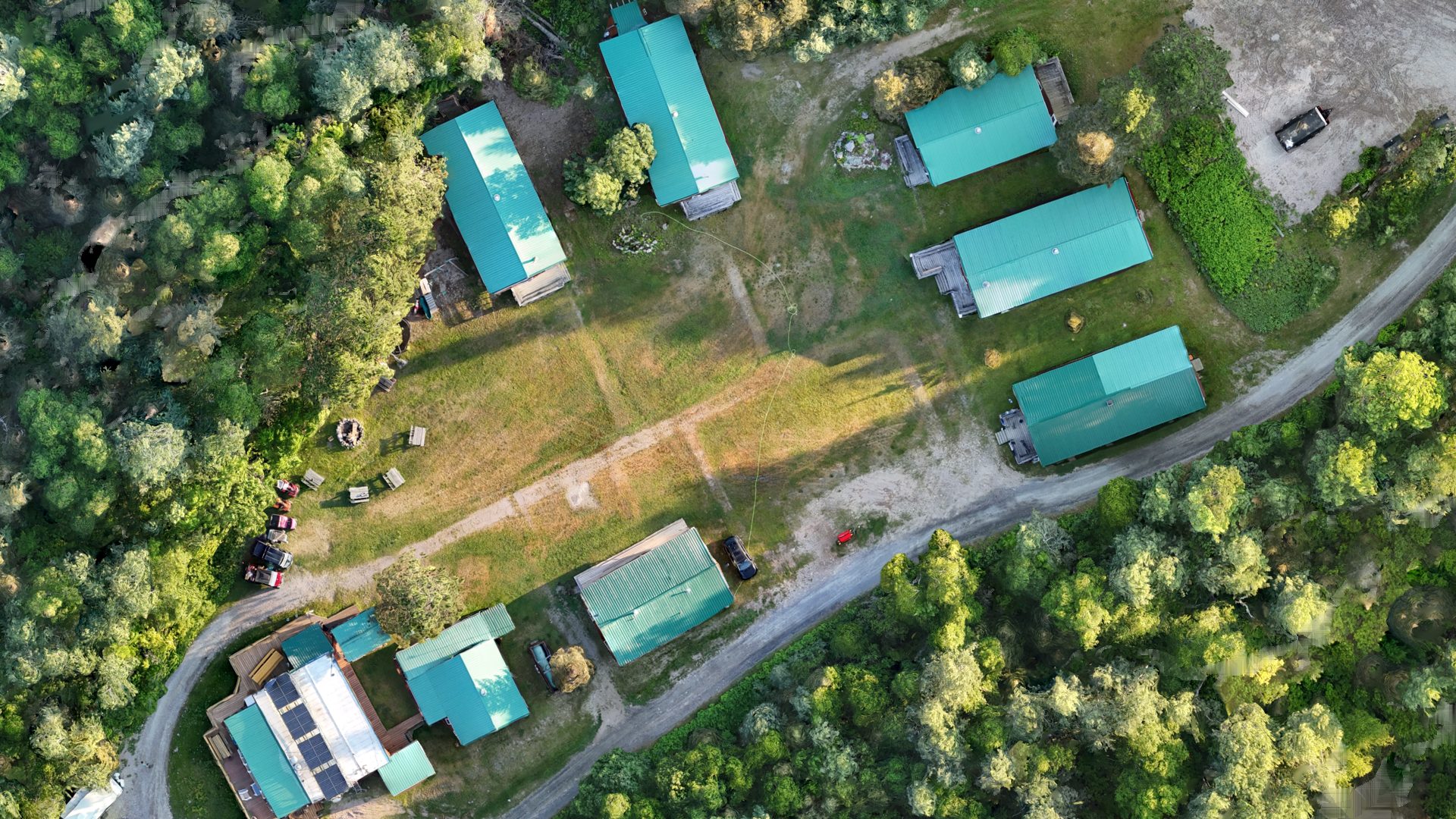
Cuttle Lake Resort, camp orthomosaic · ground sample distance (pixel size) 4.2 cm · flown 2026-07-10 · GNSS-positioned, visualisation grade
Plan, fly, process, publish, collect
A resort owner wanted a current picture of his property — the camp on the hill and the cluster of buildings on the lake — and a way to keep notes against it without learning GIS. This is the whole loop, from a flight plan to answers arriving back from his phone.
Plan and fly
Two flights on 2026-07-10 with a sub-250 g aircraft: the camp, and the lake cluster. The camp orthomosaic covers 290 × 254 m at 4.2 cm ground sample distance, about 7.4 ha; the lake orthomosaic 123 × 150 m at 5 cm.
Process
Both orthomosaics mosaicked as one virtual raster and tiled for the web at zoom 15 to 21 — 1,485 tiles — with a 2 m digital surface model, a canopy point cloud and a textured mesh from the same photos.
Publish
A password-protected web page for the owner: the map, a gallery of 184 stills and 16 clips, and the flythrough below. It is his, and it sits behind a login, so it is not linked from here.
Collect
The part that outlasts the flight. From the same page the owner records building details from his phone — a tap on the map, a short form — and every answer flows back into a GeoPackage and a QFieldCloud project, where it is data rather than a text message. His answers are his and are not shown here.
The flythrough
A cinematic pass over the camp, rendered from the orthomosaic and the mesh. It is 3 minutes 52 seconds, has no audio, and is 27.7 MB — it does not start until you press play.
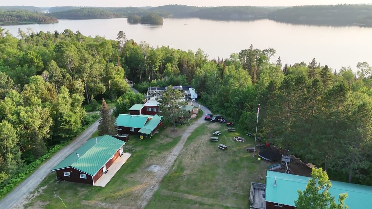
Cuttle Lake Resort flythrough · rendered from the 4.2 cm orthomosaic and mesh · flown 2026-07-10 · GNSS-positioned, visualisation grade · 1280 × 720, no audio track
From the air
Eight of the 184 stills, chosen for the site rather than for the owner’s gallery. Tap one for the 1280-px version.
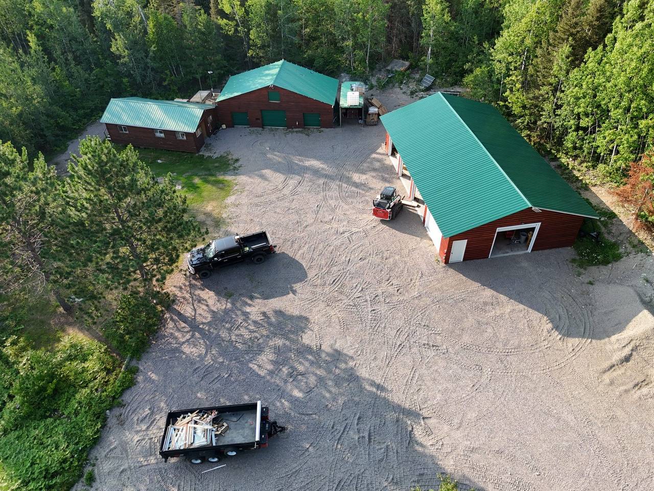
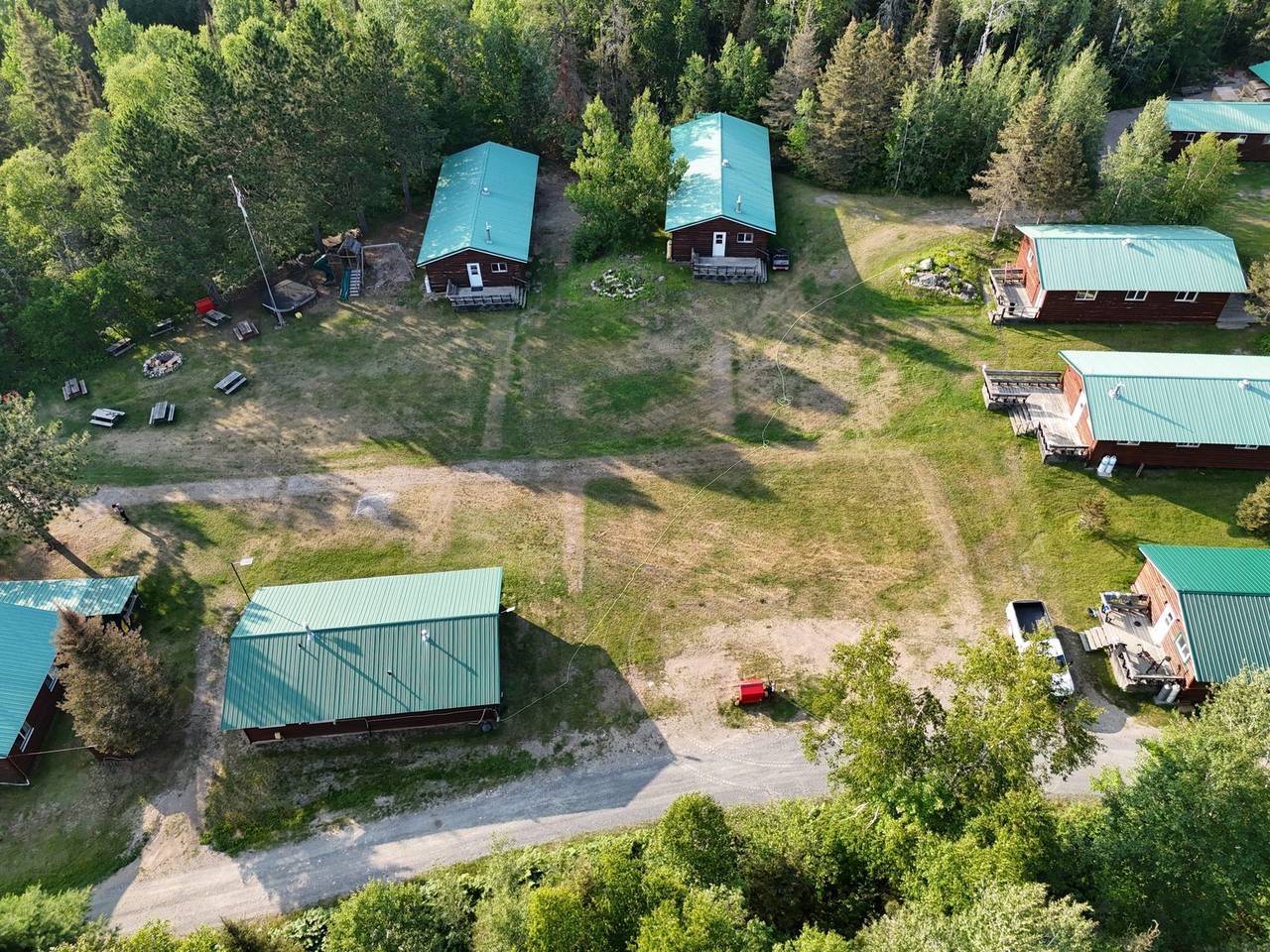
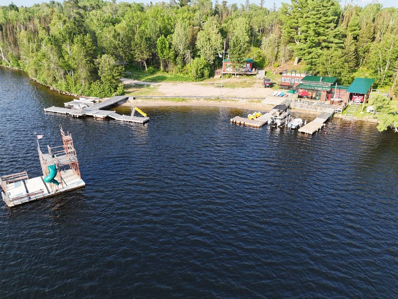
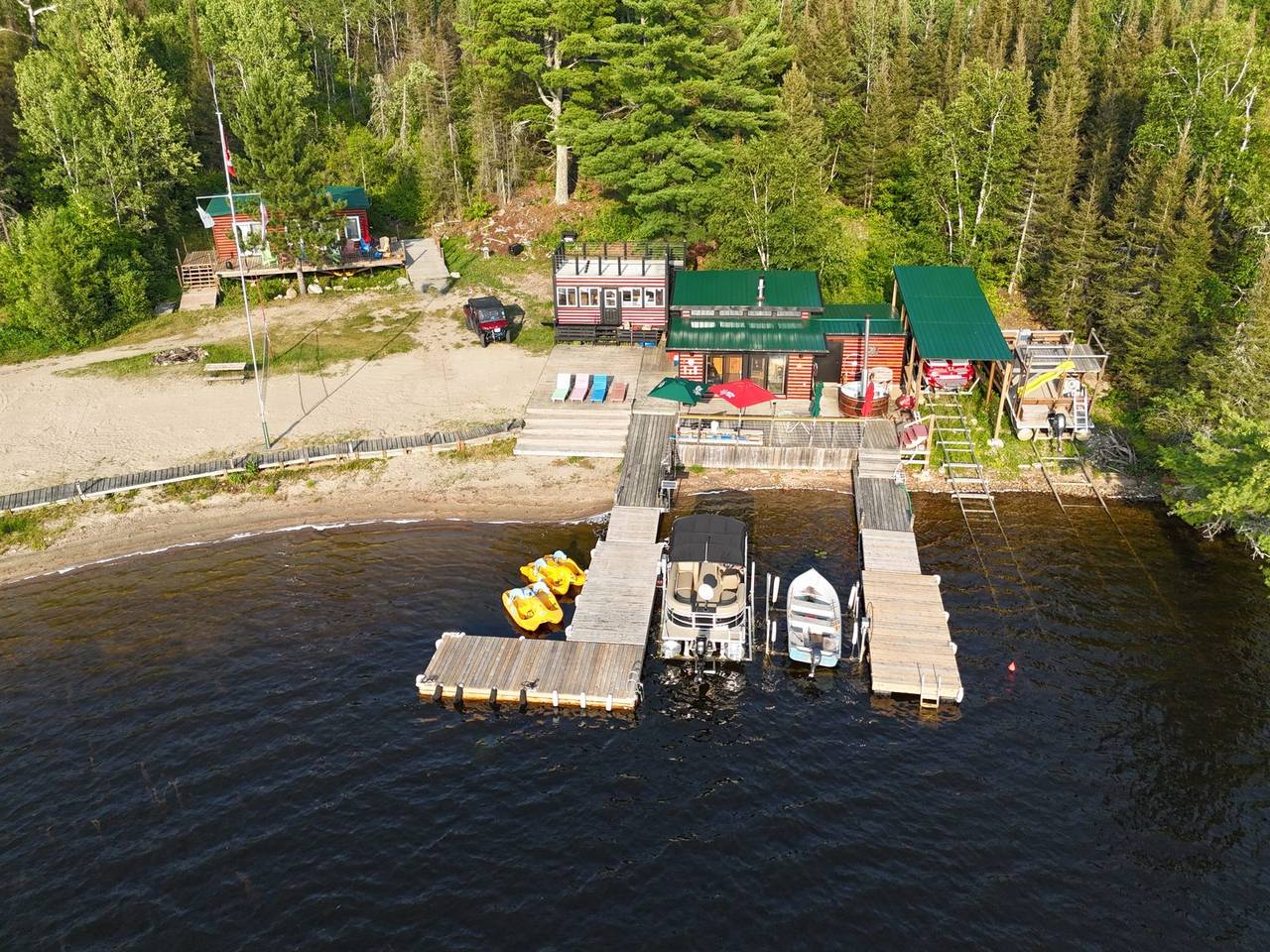
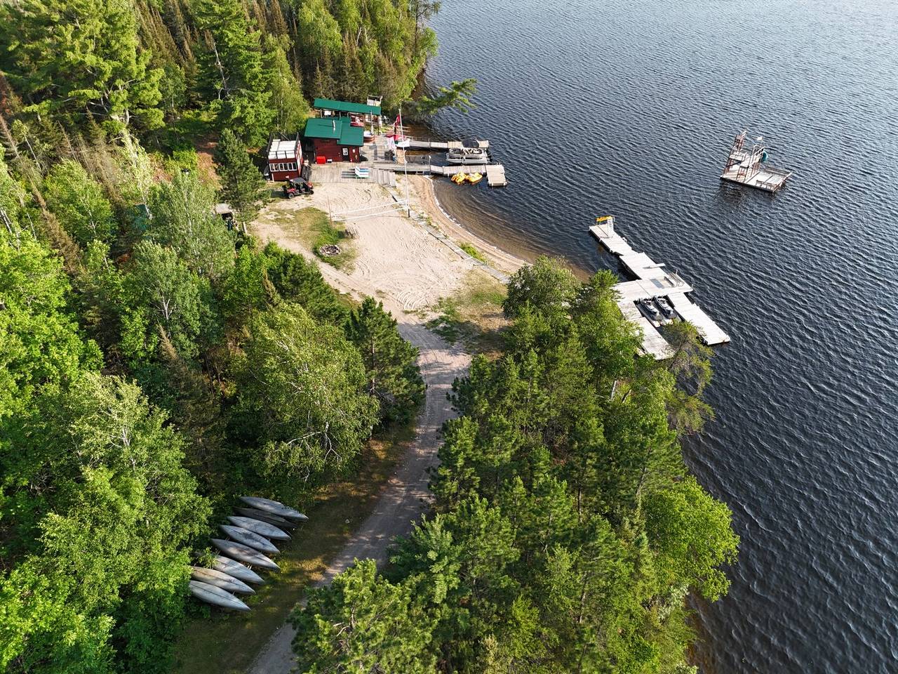
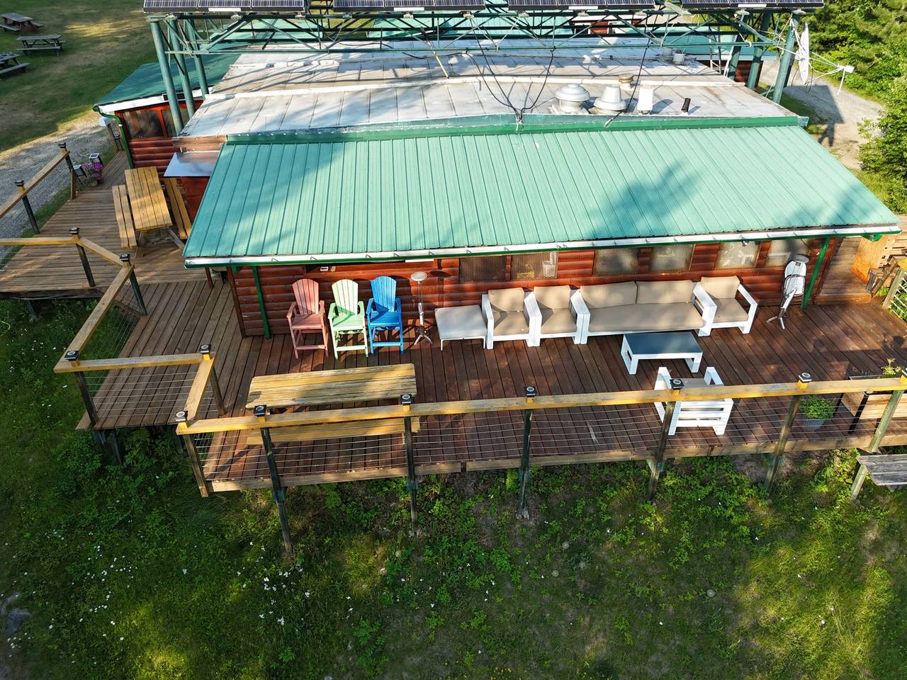
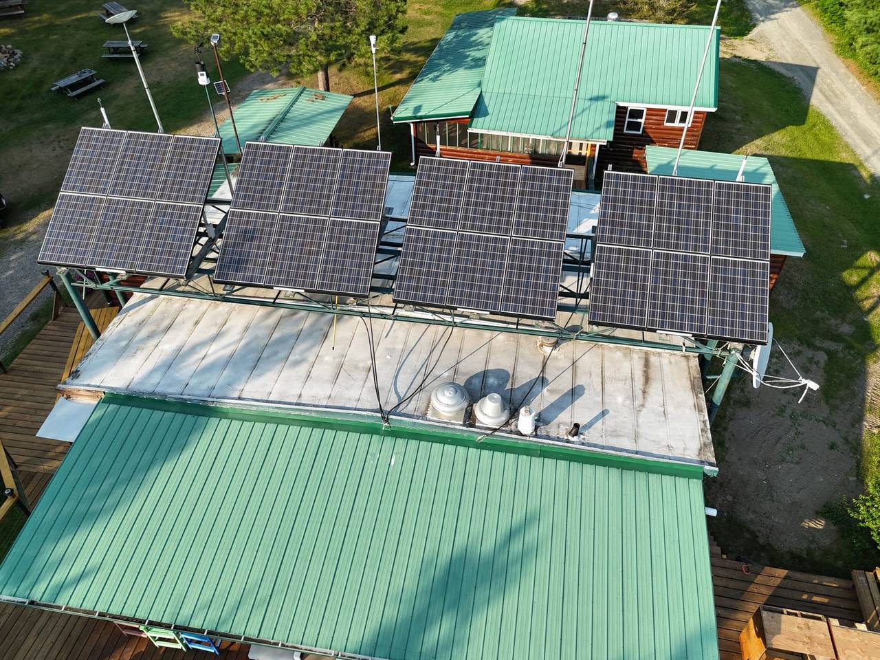
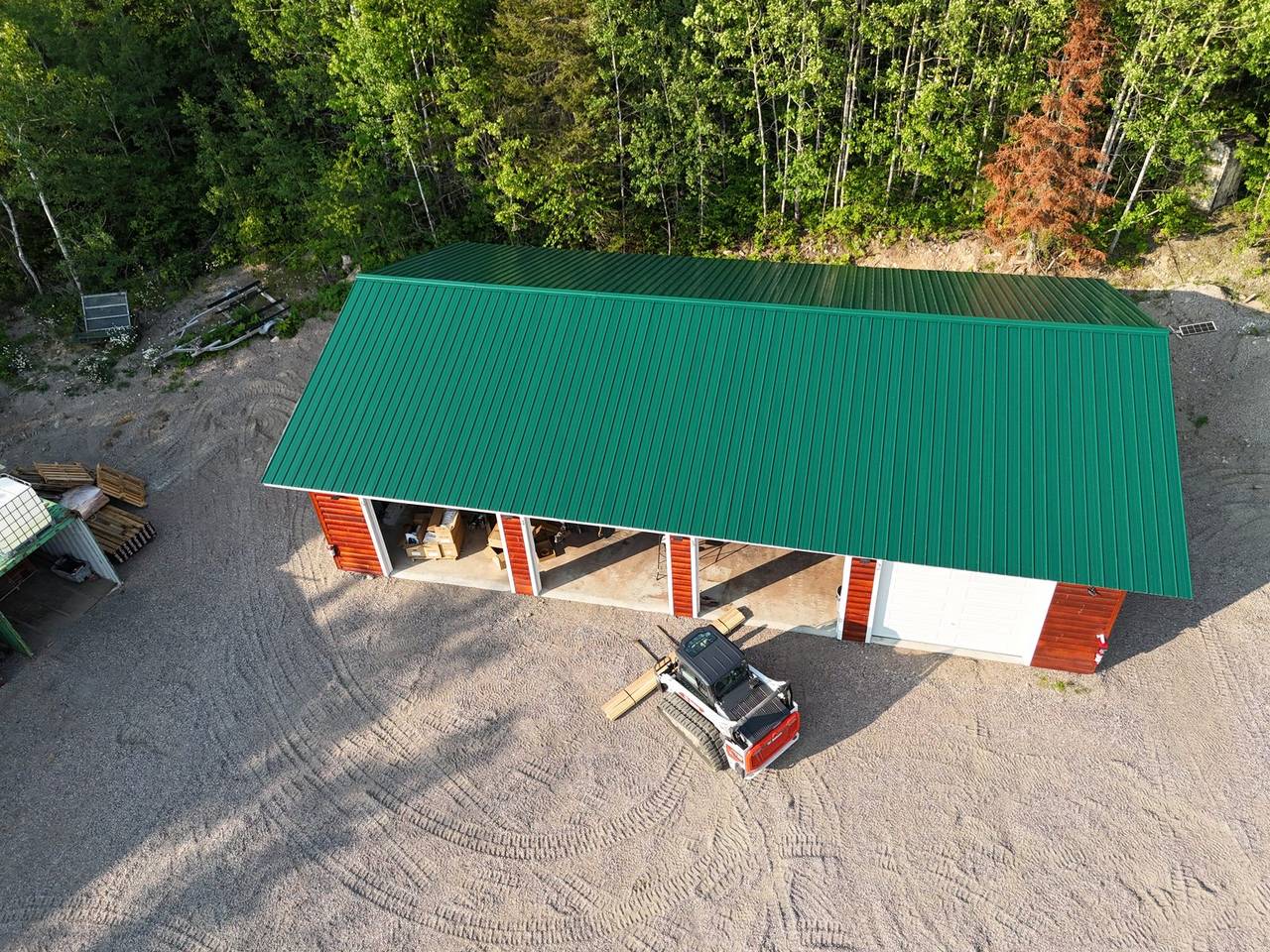
Cuttle Lake Resort, aerial stills · flown 2026-07-10 from a sub-250 g aircraft · oblique photographs, not map products: no ground sample distance or positioning grade applies to a still · the map products above are GNSS-positioned, visualisation grade, at 4.2 cm ground sample distance (pixel size)
Delivered
| Product | Detail | Format |
|---|---|---|
| Live web page | Map, gallery and data-collection loop, password-protected, the owner’s | Static site, self-hosted |
| Orthomosaic | Camp 290 × 254 m at 4.2 cm; lake 123 × 150 m at 5 cm; one mosaic, 1,485 tiles at zoom 15–21 | GeoTIFF · VRT · web tiles |
| Digital surface model | 2 m | GeoTIFF |
| Canopy point cloud | From the same photos | LAZ |
| Flythrough | 232 s, no audio | MP4, 1280 × 720 |
| Data collection | Building details from the owner’s phone, flowing into a GeoPackage and QFieldCloud | GeoPackage · QFieldCloud project |
All map products: flown 2026-07-10 · GNSS-positioned, visualisation grade · ground sample distance (pixel size) 4.2 cm camp, 5 cm lake
Accuracy, stated plainly. Every map is positioned by the aircraft’s own GNSS (PPK-corrected where the aircraft supports it). That gives excellent relative accuracy — distances, areas and heights within one map are consistent to a few centimetres at a 2-3 cm ground sample distance — and absolute positioning typically within 1-3 m of true ground for GPS-only flights, better with PPK. It is visualisation- and planning-grade: suitable for claim-block reconnaissance, trenching and outcrop mapping, cutblock and planting layout, camp and access planning, and progress records. It is not a legal survey and is not a substitute for a licensed Ontario Land Surveyor. When you need survey-grade absolute accuracy, I fly with your ground control or a surveyor’s checkpoints and deliver an RMSE report against them.