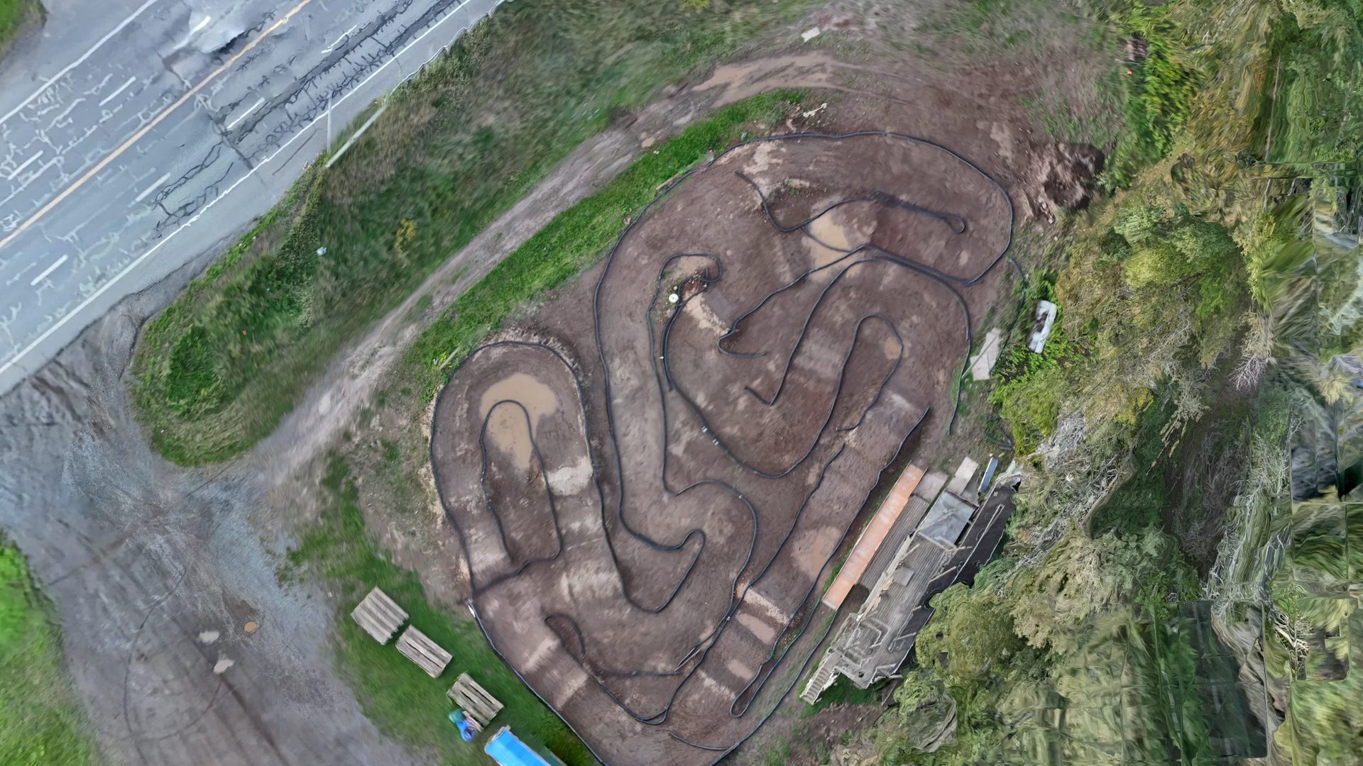
LRCCC Speedway, Thunder Bay
Sixty photos, flown by hand at dusk, to a 1 cm orthomosaic, elevation model and 3D mesh — processed in nineteen minutes on my own hardware.
LRCCC Speedway, Thunder Bay · ground sample distance (pixel size) 1.00 cm · flown 2026-09-15 · GNSS-positioned, visualisation grade
The job
LRCCC is a club dirt track in a public park in Thunder Bay, and my own test site: no client, no deadline, and every mistake mine to keep. It is the cleanest end-to-end record on this site because nothing about it was tidied for a customer.
Challenge
On the evening of 2026-09-15 the planned 124-waypoint mapping mission would not run on the RC2 controller, and the light was going.
What I did
Flew the site by hand instead: 60 photos from a DJI Mini-class aircraft under 250 g, nadir passes over the track with obliques around it, at dusk. Processed the same night on my own hardware with ODM 3.5.5 — nineteen minutes, no cloud credits, nothing uploaded anywhere.
Results
All 60 photos reconstructed into a single component at 0.87 px mean reprojection error. The orthomosaic covers 185 × 165 m — about 3.1 ha — at 1.00 cm ground sample distance, with a digital surface model, a point cloud and a textured mesh from the same run.
The orthomosaic
Zoomable, and served from this site as 2,670 tiles. Zoom right in: the tiles go to zoom 23 on purpose, so that what the model got wrong is visible rather than hidden.
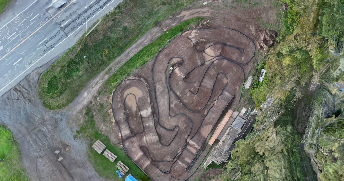
LRCCC Speedway, Thunder Bay · ground sample distance (pixel size) 1.00 cm · flown 2026-09-15 · GNSS-positioned, visualisation grade · at zoom 23 the dirt track and the highway edges show reconstruction smear — that is the model, shown honestly · no basemap: the map is the orthomosaic and nothing else
Products from one flight
| Product | Extent and detail | Format |
|---|---|---|
| Orthomosaic | 185 × 165 m, about 3.1 ha, 1.00 cm ground sample distance | GeoTIFF · web tiles, zoom 15–23 |
| Digital surface model | Same extent, from the dense point cloud | GeoTIFF |
| Point cloud | Dense cloud from the same reconstruction | LAZ |
| Textured mesh | 633,872 vertices in the phone-sized web version, 1024-px textures | GLB · open it on the 3D page |
All four products: flown 2026-09-15 · GNSS-positioned, visualisation grade · ground sample distance (pixel size) 1.00 cm
What this map is not
- Not a survey. Positioned by the aircraft’s own GNSS with no ground control, so its absolute elevation sits about 18 m off the NRCan HRDEM reference. Distances, areas and heights within the map are consistent; where the map sits on the earth is visualisation grade.
- Dusk exposure. A 1/15 s shutter softened the oblique photos, and it shows in the mesh around the track edges.
- Reconstruction smear along the dirt track and the highway edges at full zoom. The tiles go to zoom 23 and zoom 23 shows it.
Accuracy, stated plainly. Every map is positioned by the aircraft’s own GNSS (PPK-corrected where the aircraft supports it). That gives excellent relative accuracy — distances, areas and heights within one map are consistent to a few centimetres at a 2-3 cm ground sample distance — and absolute positioning typically within 1-3 m of true ground for GPS-only flights, better with PPK. It is visualisation- and planning-grade: suitable for claim-block reconnaissance, trenching and outcrop mapping, cutblock and planting layout, camp and access planning, and progress records. It is not a legal survey and is not a substitute for a licensed Ontario Land Surveyor. When you need survey-grade absolute accuracy, I fly with your ground control or a surveyor’s checkpoints and deliver an RMSE report against them.